
Lake Waramaug Catch Basin Inventory Project
By Kelsey Sudol - LWTF Research Assistant
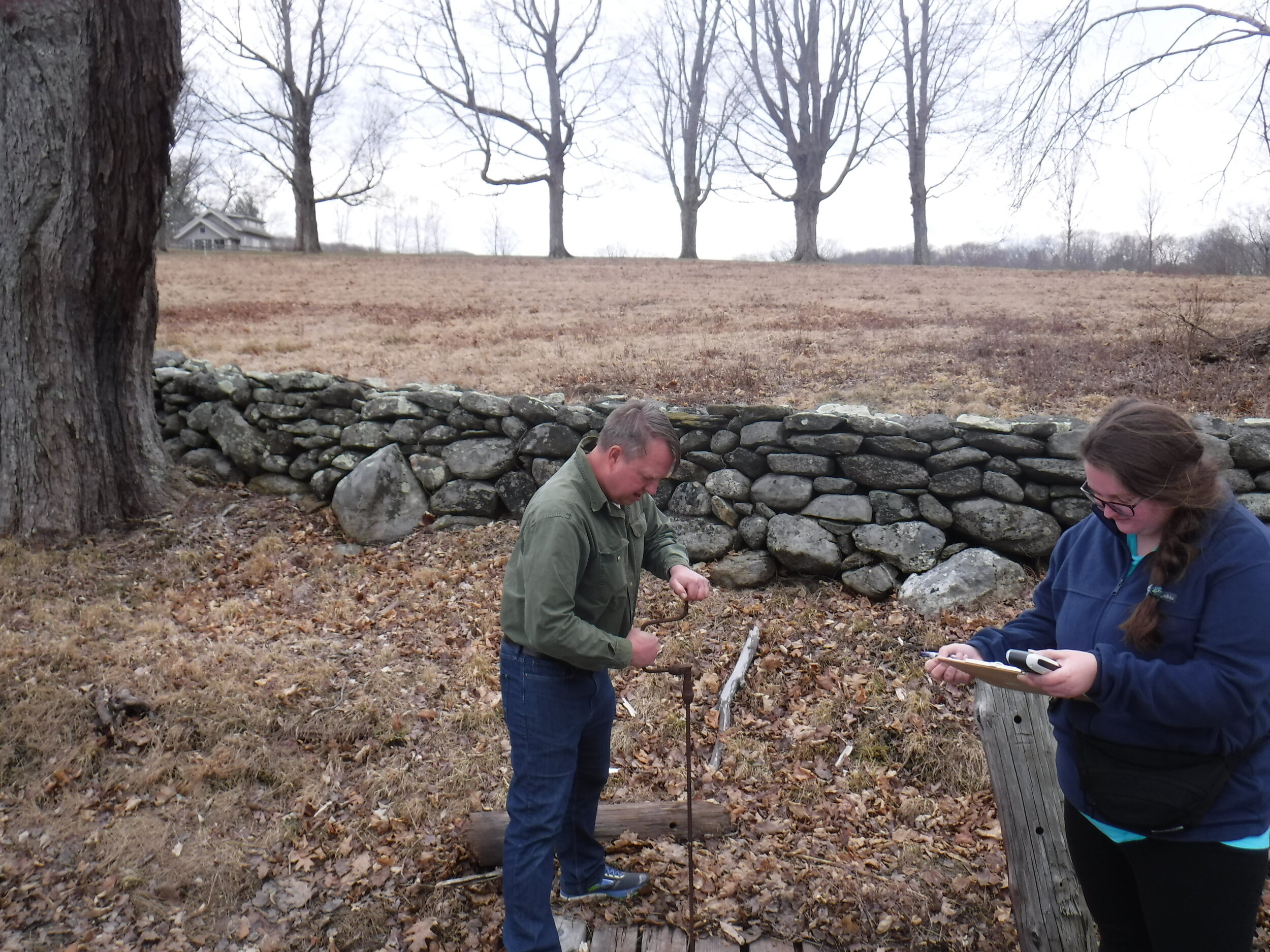
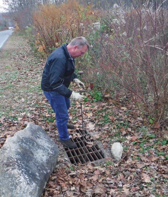
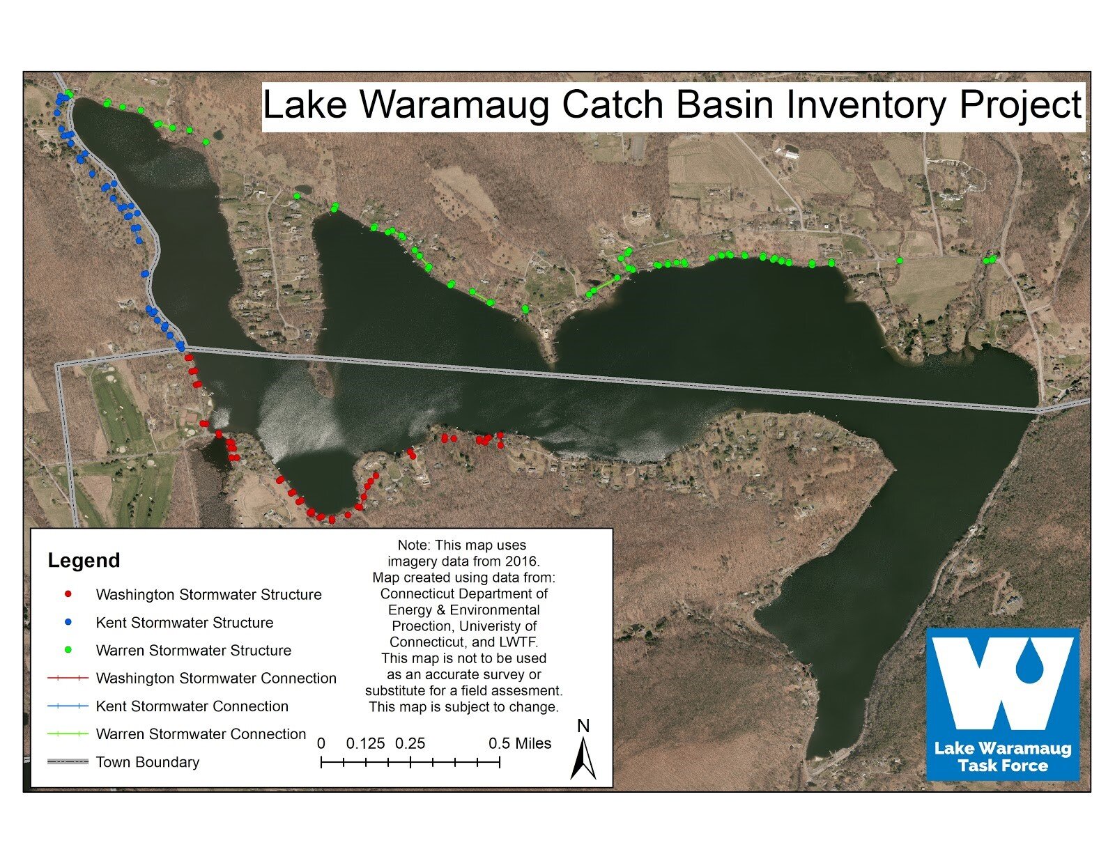
During 2019, the Lake Waramaug Task Force began a multi-year effort to inventory of all the catch basins, outfalls and other stormwater structures around Lake Waramaug. We are cataloging the structures’ location, condition and how they are connected. Our goal is to complete this mapping and inventory for all the stormwater infrastructure immediately adjacent to Lake Waramaug, and then branch out to the surrounding roads. So far, we have cataloged, mapped and begun stormwater sampling approximately half of the stormwater structures immediately surrounding the Lake. Check out our map by clicking HERE!
Stormwater runoff is the number one source of water quality-degrading pollution. The quickest path for this polluted stormwater runoff entering the Lake is conveyed by an extensive catch basin network. The goal of the Lake Waramaug Catch Basin Inventory Project is to inspect, catalog, map and rank for pollutant potential all of the catch basins and corresponding outfalls around Lake Waramaug. LWTF will then assess their impact via stormwater sampling in order to better understand, evaluate and address polluted stormwater runoff into the Lake.
Using the catch basin database, the Task Force can identify pollutant hot spots near the lake, and attempt to create management strategies to remediate the polluted water before it reaches the catch basin network. We will use another LWTF initiative, Low Impact Development or LID, to mitigate polluted stormwater runoff. A better understanding of the pollutant loading conveyed by the catch basins will allow the Lake Waramaug Task Force to continue to improve the water quality in the Lake. This project was funded in part by the Connecticut Community Foundation.
April 9th, 2020